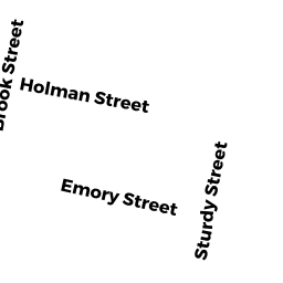
15 BROOK ST
Owner Information
THE CHAPS REVOCABLE TRUST
43 SOUTH WALNUT ST
MANSFIELD, MA 02048


Property Details
15 BROOK ST is classified as a Two-Family Residential (Family conver.).
The primary structure on this property was built in 1910. There are 3,165ft2 of built area within this property. There is 1,575ft2 of residential/living space within this property. This property is listed as having 8 rooms.
15 BROOK ST is valued at $315,000. The land is valued at $93,700 and the structures are valued at $221,300.
This property is in Zone R2. Confirm with local Zoning Board authorities to ensure there are no overlays or other easements on this property.
The most recent deed for 15 BROOK ST is recorded at the local registrar in Book 20757, Page 0347. 15 BROOK ST was last sold on Friday, January 11, 2013 for $50,000.
Assessment data from fiscal year 2021.
Flood Data
According to the FEMA National Flood Hazard Layer, this property does not appear to be in a flood zone. It may also be in an area not yet reviewed. Nonetheless, confirm this information prior to taking any action.
To view the flood hazards around this property, create a FEMA "Firmette" Map of the area around 15 BROOK ST.
Broadband Internet Providers
| Provider | Type | Bandwidth (mbps) | |
|---|---|---|---|
| VSAT Systems, LLC. | Satellite | 2 | 1 |
| GCI Communication Corp. | Satellite | 0 | 0 |
| Crown Castle Fiber | Fiber | 0 | 0 |
| HughesNet | Satellite | 25 | 3 |
| Viasat Inc | Satellite | 100 | 3 |
| Comcast | Cable | 1000 | 35 |
| Verizon New England Inc. | DSL | 15 | 1 |
Broadband service provider data from December 2020.
Adjacent Properties
- 172 PARK ST
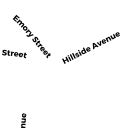
P/HOS CHAR MDL-00 owned by STURDY MEMORIAL HOSPITAL INC - 53 EMORY ST
Apartments with Four to Eight Units owned by TRAN JOHNNY - 55 EMORY ST
Three-Family Residential owned by SAR RITHY SIVANTHOUEN - 57 EMORY ST
Three-Family Residential owned by CASTRO JOAO M & MARIA E & ETAL - 178 PARK ST
Three-Family Residential owned by JAYID AICHA